The forecast was calling for 80 mph wind gusts and an incoming storm. We decided to go for a shorter day and get out of sunny CA before we were stuck in the weather. Dale suggested The Pinner.
 |
| Andy approaching Mt Laurel |
The Pinner goes up behind the cliffs on the left flank of Mt Laurel (see above pic). 3,500 feet of rock lined couloir, pretty rockous place.
 |
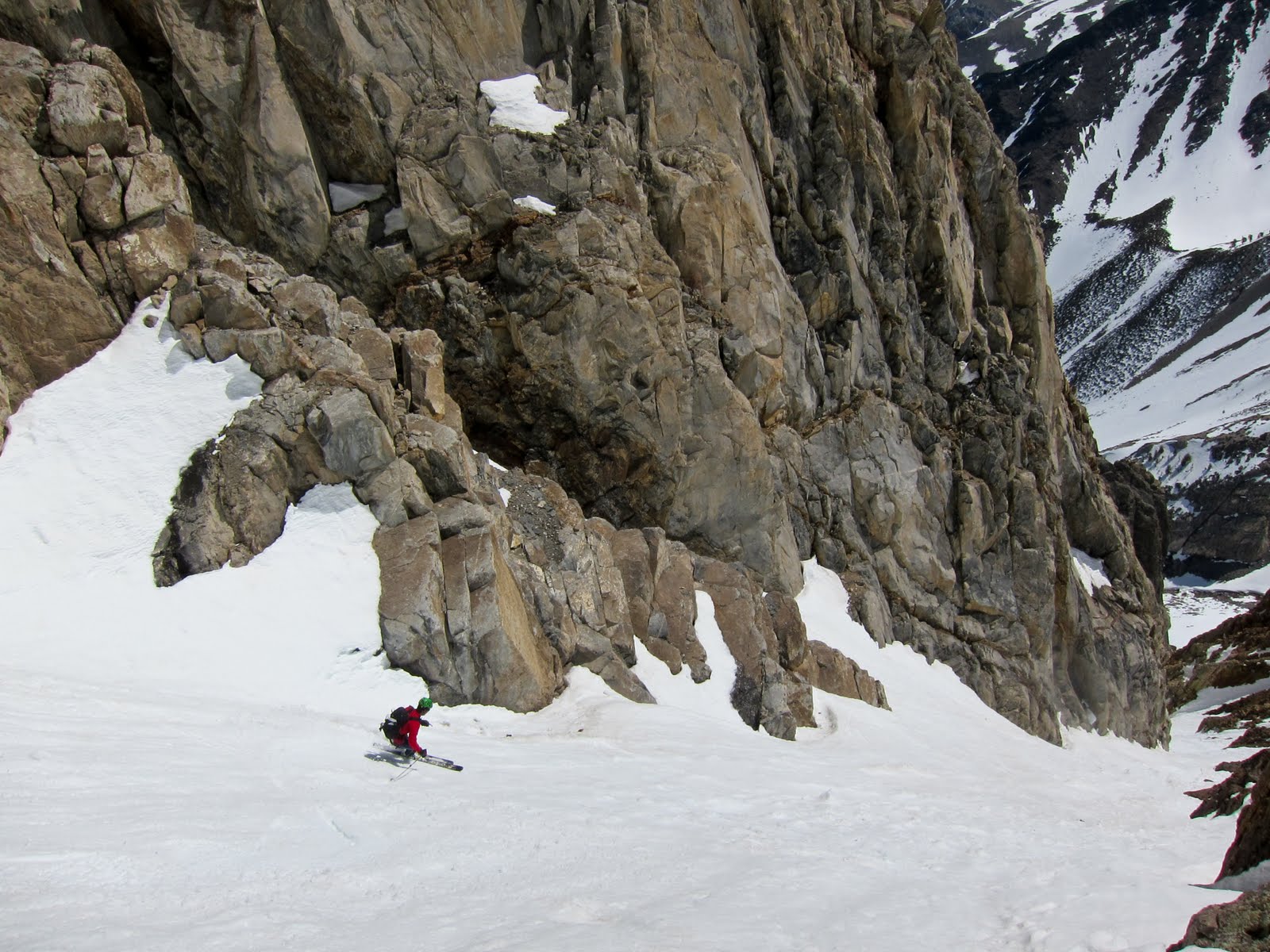
| Bottom of The Pinner |
We wanted to put a skinner all the way up The Pinner just because it rhymed. I think we were 400 feet below the top when we aborted that mission. Turns out a booter was a million times easier. Up high it was sunny and there wasn't a breath of windy. Andy and I just sat around in listening to Ugly Casanova and eating fun sized Twix, pretty content.
 |
| Summit |
The way down was great, it felt LONG. Corn from top to bottom.
 |
| Andy |
 |
| Me |
 |
| Andy |
 |
| Avy debris |
When we got back to the car it was 70 and sunny. Perfect weather for a cold swim. After that we hit the road and headed back to SLC. As we drove away we could see plumes off all the peak. I guess we got out just in time.
9 MPH over the speed limit is too much if you live in Ely Nevada, those guys were lame.
 |
| Blank the police |


they profile Utah plates. been there, the tribal police are even worse. condolences.
ReplyDelete